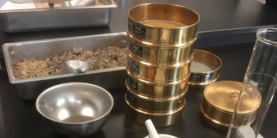
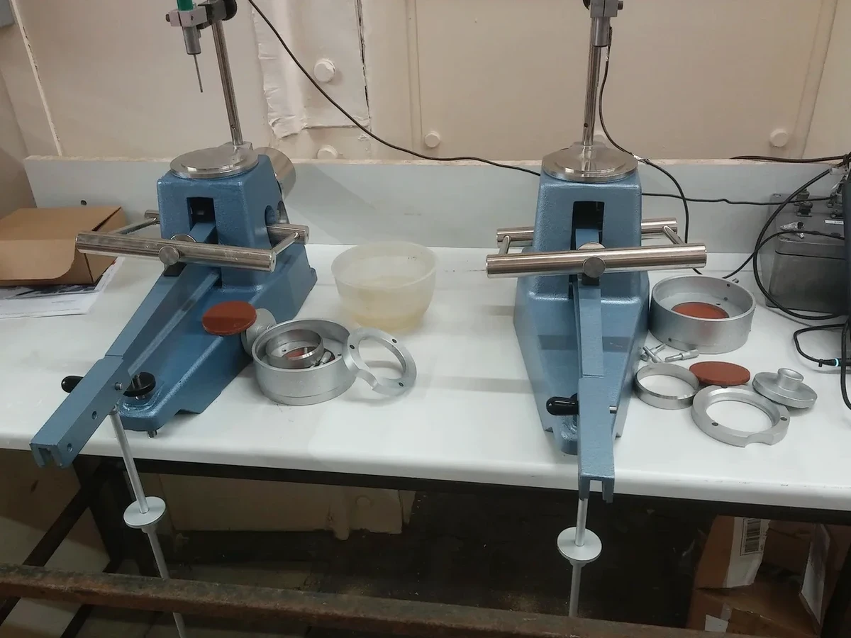
In St. Albert, the Botanic Park clay isn't the same as the silty till up near Villeneuve Road. Anyone who's opened a trench in Erin Ridge knows the soil changes color and stickiness within a meter. That's exactly why Atterberg limits matter here. The liquid and plastic limits aren't abstract lab numbers—they predict how much a foundation pad will heave after spring thaw or whether a stormwater pond liner will crack when the bentonite dries. Our lab runs the full ASTM D4318 procedure on samples pulled from the actual depth of your bearing layer, not a grab from the surface. We correlate the plasticity index with the local Quaternary geology: glacial Lake Edmonton clays, postglacial silts, and occasional organics along the Sturgeon River valley. For road subgrades in new subdivisions, knowing the plastic limit means the difference between a pavement that lasts fifteen winters and one that ruts in three. We also pair this data with grain size analysis to confirm the full fines fraction when the Unified Soil Classification needs both hydrometer and Atterberg input.
Atterberg limits don't just classify clay—they quantify how much water a St. Albert foundation soil can absorb before it fails under load.