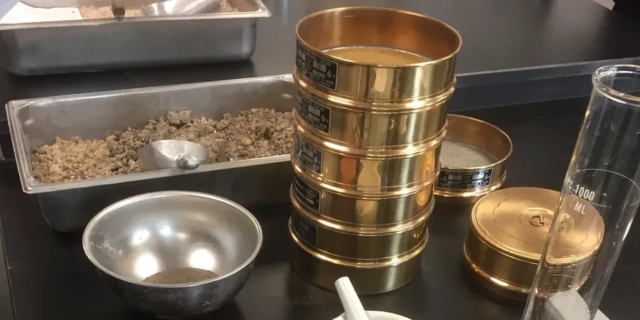
In St. Albert, where the population has grown over 45% since 2000, the demand for new residential subdivisions and commercial infill puts pressure on every square foot of ground. The problem is what lies beneath the topsoil: dense glacial till, interbedded sands, and occasional soft lacustrine clays left by Glacial Lake Edmonton. Our field crews encounter this mix daily, and the Standard Penetration Test remains the most practical tool to quantify it. We run a CME-75 drill rig calibrated to ASTM D1586, recording blow counts every 6 inches through the full depth of interest — typically 10 to 15 meters for mid-rise construction. For projects near the Sturgeon River valley where stratigraphy shifts abruptly, the SPT gives us a direct measure of relative density and consistency that no surface method can replicate. Because so many St. Albert lots sit on preconsolidated till, interpreting N60 values correctly is the difference between a footing that settles 15 mm and one that moves 40 mm over the first five winters.
In St. Albert's preconsolidated glacial till, an N60 value of 35 means something entirely different than the same number in a normally consolidated sand — and that distinction drives foundation cost.