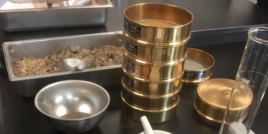
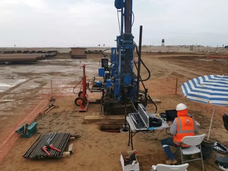
The surficial geology beneath St. Albert tells a story of glacial Lake Edmonton and the modern Sturgeon River—where sequences of clay, silt, and sand can change within a few meters horizontally. Anyone who has excavated along Ray Gibbon Drive or near the downtown river flats knows the challenge: soft lacustrine clay sitting on dense till, with groundwater often within 3 meters of the surface. For projects where borehole spacing leaves stratigraphic gaps, the cone penetration test (CPT) fills in the picture. By pushing an instrumented cone at a constant rate, the test records tip resistance, sleeve friction, and pore pressure almost continuously with depth. This data helps engineers in St. Albert distinguish silt layers from clay, identify potential bearing strata, and flag zones where excess pore pressure might slow construction—all before the first shovel hits the ground. While a standard SPT drilling program gives discrete samples, the CPT provides a near-continuous profile that catches thin lenses a split spoon might miss.
A single CPT sounding in the Sturgeon River valley can reveal more stratigraphic detail than three boreholes spaced 15 meters apart.